GeoEye-1 Satellite Imagery
Digital Data Services, Inc., offers high resolution satellite imagery through the DigitalGlobe GeoEye-1 satellite imagery products.
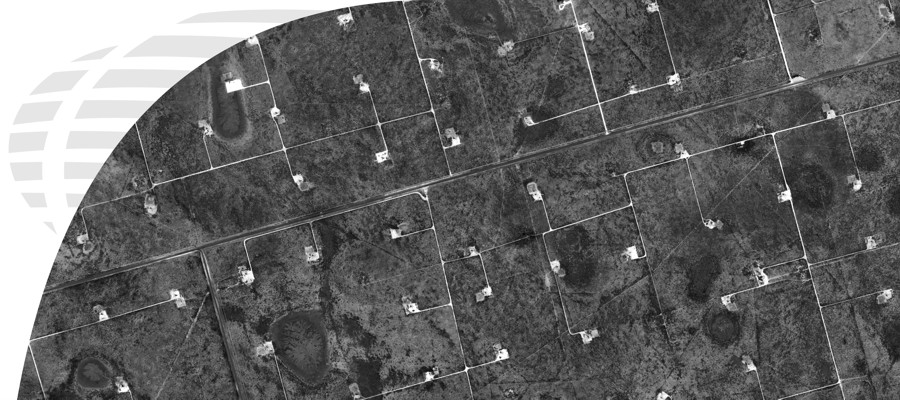
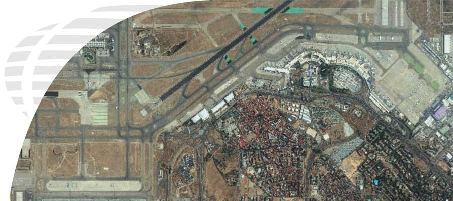
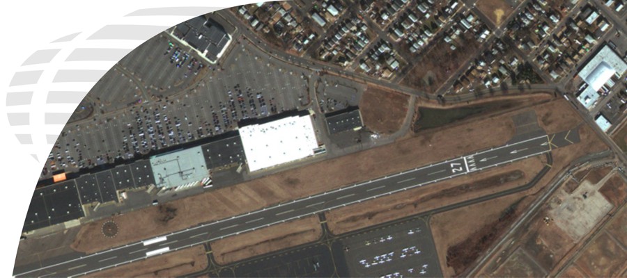
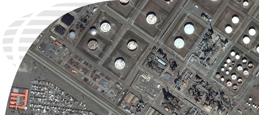
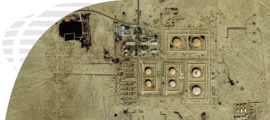
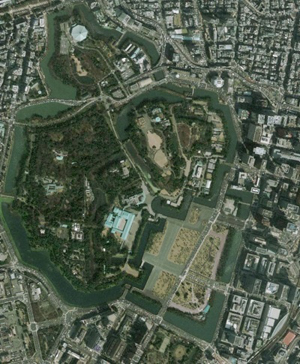
GeoEye-1 is equipped with the most sophisticated technology ever used in a commercial satellite system. It offers unprecedented spatial resolution by simultaneously acquiring 0.41-meter panchromatic and 1.65-meter multispectral imagery. Imagery from both sensors on the IKONOS satellite can be merged to create 50 centimeter color imagery (pan-sharpened).
The detail and geospatial accuracy of GeoEye-1 imagery further expands applications for satellite imagery in every commercial and government market sector.
To start your search for available GeoEye-1 imagery, select the "Get a Quote for Data" button.

