30 Meter Resolution International Digital Elevation Models
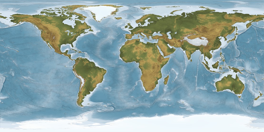
Digital Data Services, Inc. offers 30 meter Digital Elevation Models for the entire world. The 30 meter Digital Elevation Model dataset is the best "readily available" worldwide elevation datasets and includes data from CTED, USGS NED, ASTER, and SRTM sources. All data is "seamless" and is delivered in 5x10 degree blocks. Ground resolution is 1 arc-second horizontal (approximately 30 meters).
The native format is ESRI grid, projected in Geographic NAD83 with elevation values in meters. For a small additional charge, DDS can provide the data in additional formats and user specified map projections. For simplicity, we have only listed the most common options in this shopping cart. However, we can provide the data in just about any format and projection.


