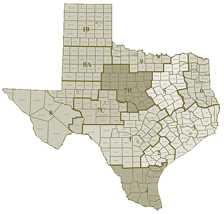
Texas Land Survey Data- Texas Land Grids
DDS is pleased to offer Texas Land Survey datasets. The Texas Land Survey dataset is a seamless, high-resolution database of county boundaries, blocks, surveys, abstracts, subdivisions, lots, and tracts that is ideal for base maps and plotting land ownership and leases.
Data layers include: County Boundary, Block, Survey, Abstract, Subdivision, Lot, Tract, Overlap Block, Overlap Survey, Overlap Abstract, Overlap Subdivision, and Overlap Lot. Subdivisions, lots, and tracts are available in attributed polygonal format. Tabular attributes include block, survey, abstract, subdivision, lot, and tract name and number.


